
marfora surveying, llc

request a quote

Interested in working together? Use our survey questionnaire to help guide you through the survey ordering process.
What type of survey is required for your project? Marfora Surveying offers surveying solutions to meet your project requirements. Need help aligning your project needs with a surveying solution? Fill out the contact form below for a free consultation.
Our Services
-
A survey of real property performed by a Professional Land Surveyor to be used by a title insurer for the purposes of insuring title to real property.
A land title survey is a comprehensive examination and reporting of significant factors affecting a tract’s boundary lines, right-of-way lines, and easements. The title survey includes detail not normally gathered for a traditional boundary survey, and, absent a title commitment or report, a survey of this magnitude cannot be performed. The parties to a transaction, including the title insurance company, lender, buyer, and seller, all benefit from a land title survey.
-
A survey performed by a Professional Land Surveyor licensed for the primary purpose of locating, describing, monumenting, and mapping a legal property boundary.
-
A route survey is often used to determine the alignment of a fee or easement right-of-way for roads, transmission lines, pipelines, waterways, etc. Facilities within the right-of-way are often located in relation to the baseline or right-of-way line. The route map, also known as an alignment sheet, depicts the route survey.
-
A construction survey is used to provide horizontal and vertical staking of the location of proposed buildings, structures, or facilities prior to and during construction according to engineering or architectural plans.
-
A topographic survey is the service performed to determine the configuration, relief, or elevations of a portion of the earth's surface, including the location of natural and/or man- made features thereon. The preparation of a topographic survey requires the expert skill of a Professional Land Surveyor well versed in techniques used to prepare reliable topographic maps. A topographic survey is not a boundary survey, although some approximate property lines may be delineated. The limits of the topographic survey will be determined based on the intended use.
-
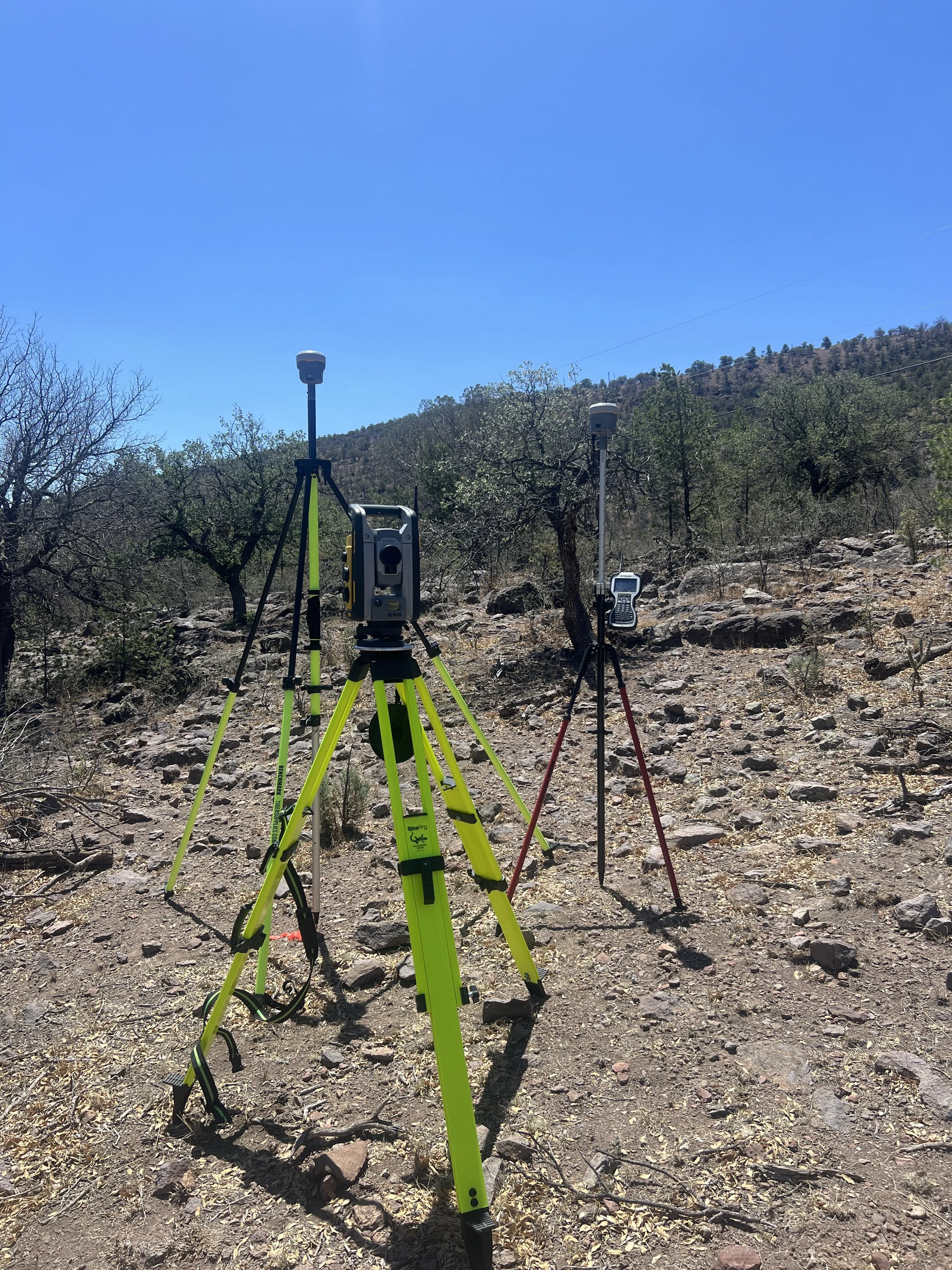
Three-dimensional control surveys are used to establish the position of a network of control points on the ground that are sufficiently accurate to provide control for subsequent survey projects.
-
Marfora surveying is committed to your project success. Marfora is experienced in Platting, Aerial Control, Remote Sensing, Expert Witness, GIS and much more. Contact us and let us collaborate to ensure your project success.
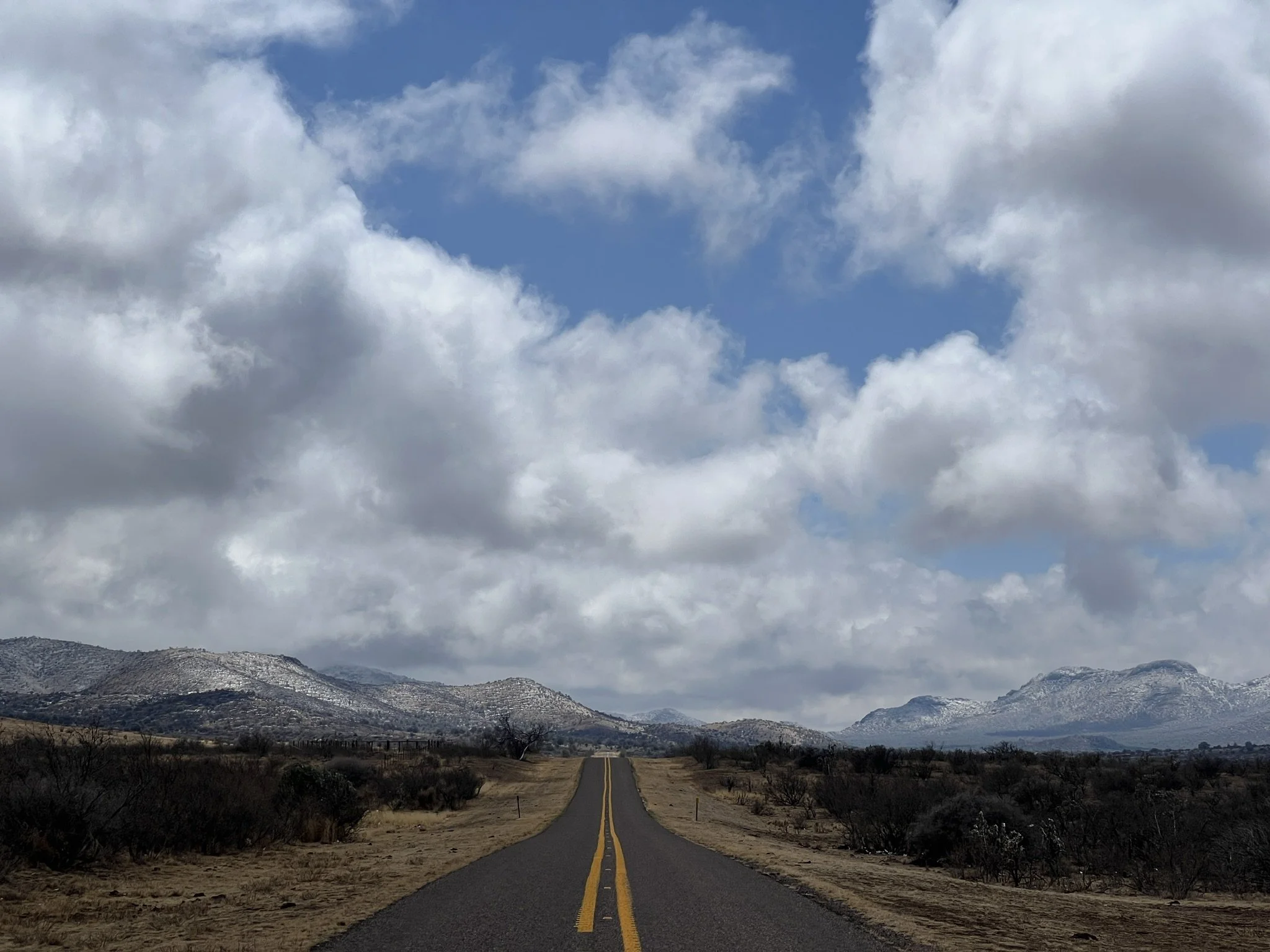
Marfora Surveying was established in 2025 to serve the Lower Big Bend Region of Texas. We want to be your local surveyor. Contact us and let us collaborate on your next project.
about marfora


Trevor Cheramie, Land Surveyor and founder of Marfora Surveying
Trevor started surveying in 2005 with the US Army Reserves and is a licensed surveyor in Texas and Oklahoma. He obtained his AAS in Surveying and Mapping from Lone Star College and his BAS in Business Systems from Texas A&M University Commerce. Trevor has worked on a variety of project types in the Texas and Oklahoma region throughout his career including Federal, Department of Transportation: Bridge and Roadway, Rail, Electric, Oil & Gas: Development & Distribution, Municipal and Land Development Surveys. Trevor is experienced in Boundary, Topographic and Construction surveys. Trevor is experienced in client development, project management and scheduling.